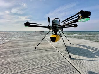
This webinar explores how the YellowScan Navigator, along with the Vx20-300 and Surveyor Ultra (V2) LiDAR systems, were used in challenging environments across Romania, with a focus on bathymetry projects.
Ciprian Iorga from LA ORIZONT and Eduard Nastase from the National Institute for Earth Physics talk about their applications in coastal monitoring, archaeological analysis, infrastructure assessment, and underwater terrain mapping.
This webinar focuses on three main survey missions:
- Black Sea: Coastal erosion and infrastructure monitoring, achieving up to 5-6 meters depth scanning.
- Histria ancient city: Archaeological surveys facing challenges like water turbidity and GNSS disruptions.
- Arges river and Mihailage Dam: Infrastructure monitoring and flood modeling, integrating aerial and bathymetric LiDAR data.
Fill out the form to watch the webinar replay on demand. 👉

Watch the webinar 💻

Scan of the Arges river and Mihailage Dam in Romania
The YellowScan Navigator was able to reach the river’s maximum depth of 2.5 meters.

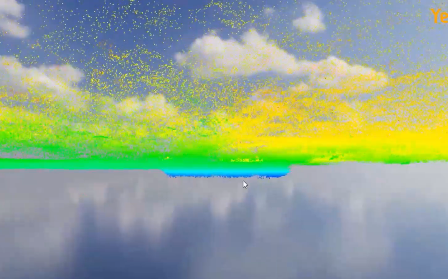
Underwater Scan in Coastal Wetland
Results from the Navigator capturing underwater terrain in a swampy coastal area where it clearly showed a dip in the riverbed.

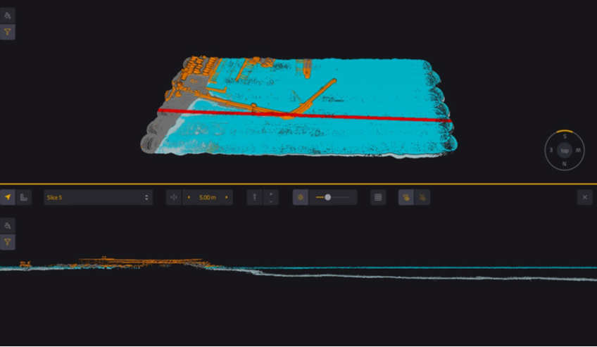
Seafloor Cross-Section
A clean slice through the dataset reveals the structure of the seafloor, clearly showing bottom contours and submerged features.
